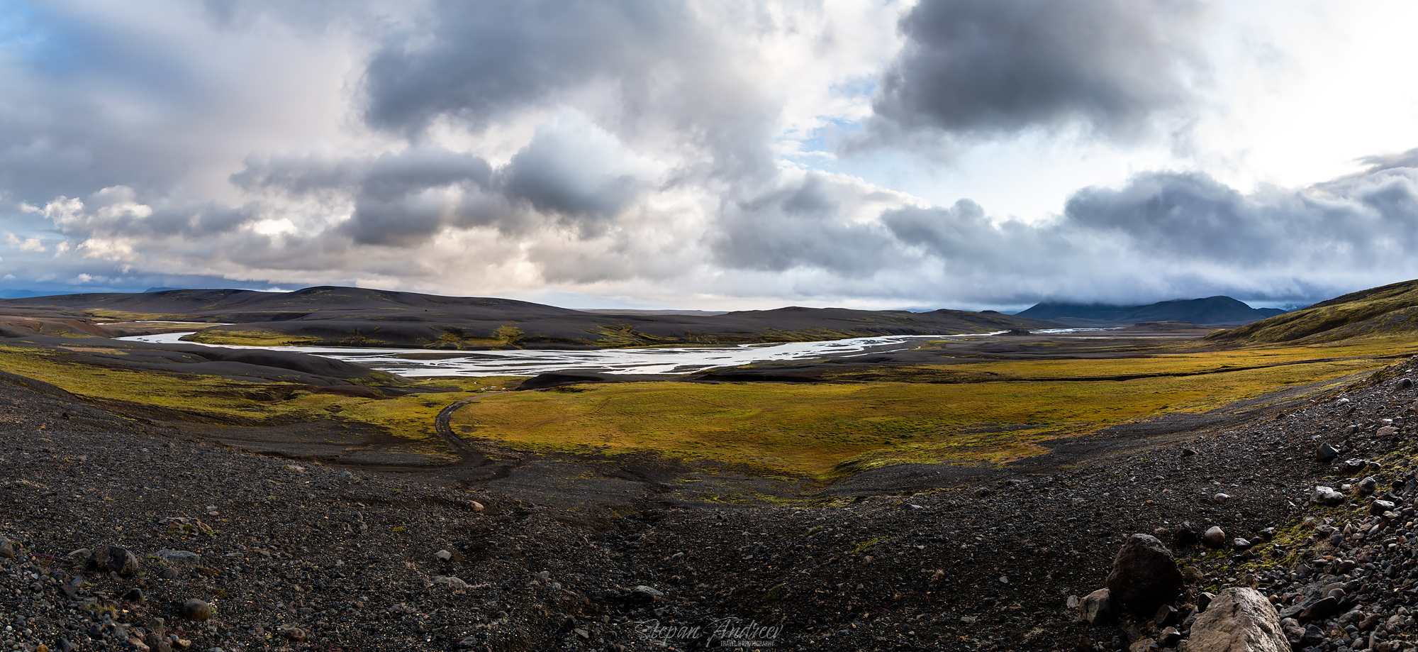
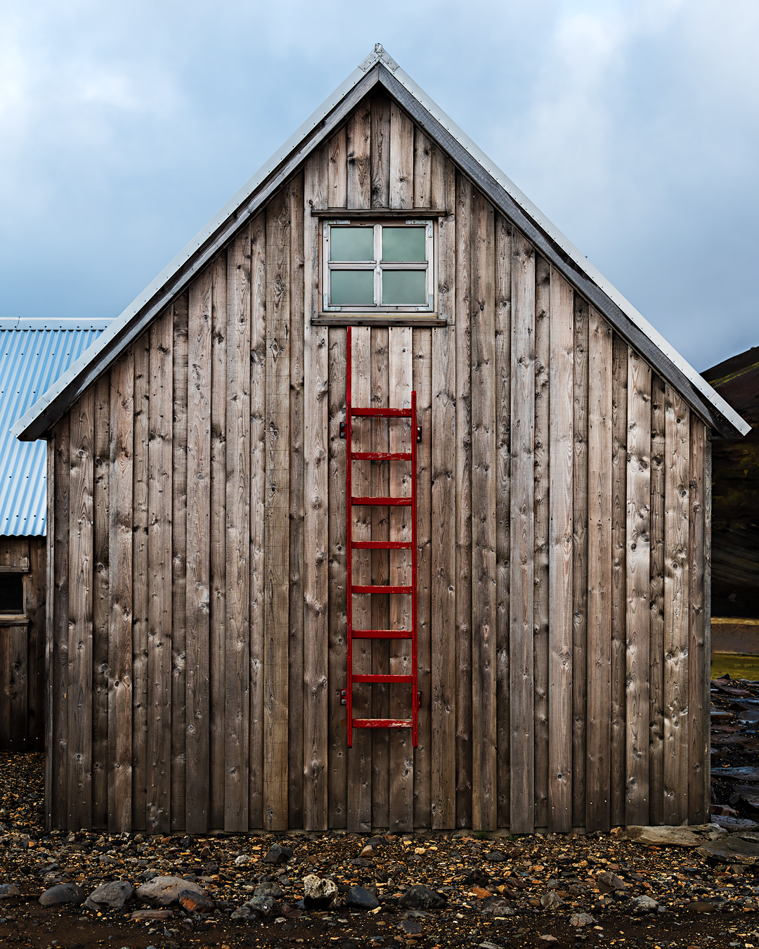
Третий день начался как обычно с подьема по “кошачему” времени. Ветер не утих, однако на удивление образовался просвет в облаках. Прошлым вечером я приметил очень фотогеничный фасад сарая с красной лестницей, поэтому первым делом я отправился фотографировать его, пока погода позволяла. Заодно попытался снять панораму долины, снимал с рук, в сильный ветер, поэтому пришлось попотеть конкретно уже дома чтобы корректно ее склеить.
That morning I woke as usual at “cat o’clock” and went out for to do some exploring. The wind was still going mental, but surprisingly enough there was a break in the clouds, so there was some decent light. On a previous day I noticed a very photogenic barn with a red ladder attached to it, so it was my goal for the morning. I also tried to capture the panoramic view on the valley, but the wind was giving a lot of trouble. It took me several hours to finally stitch the panorama later in Guernsey.
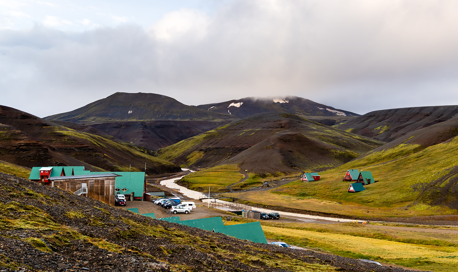
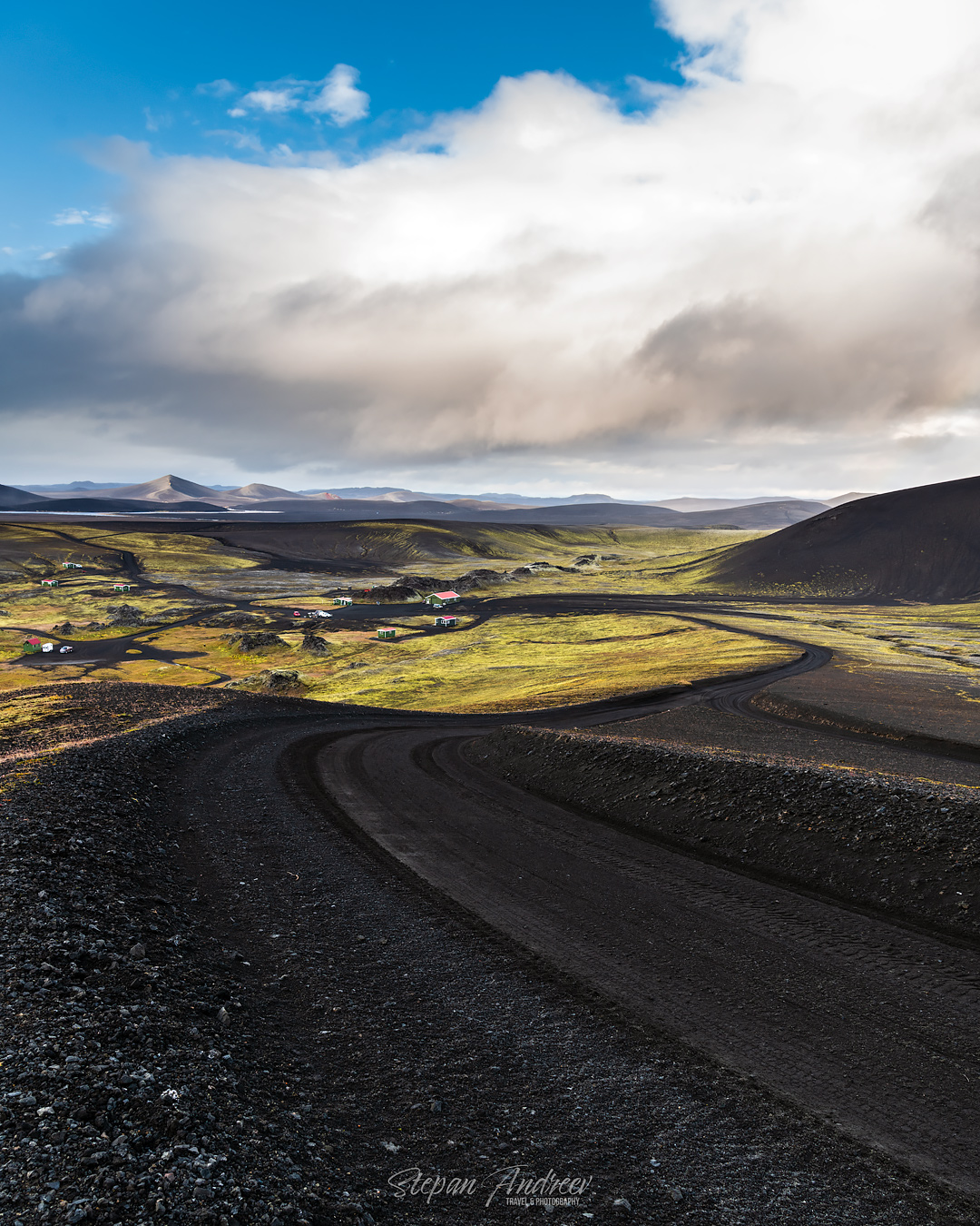
На пути обратно смог наконец задокументировать территорию резорта. / On my way back I finally managed to get a shot of the resort we stayed in.
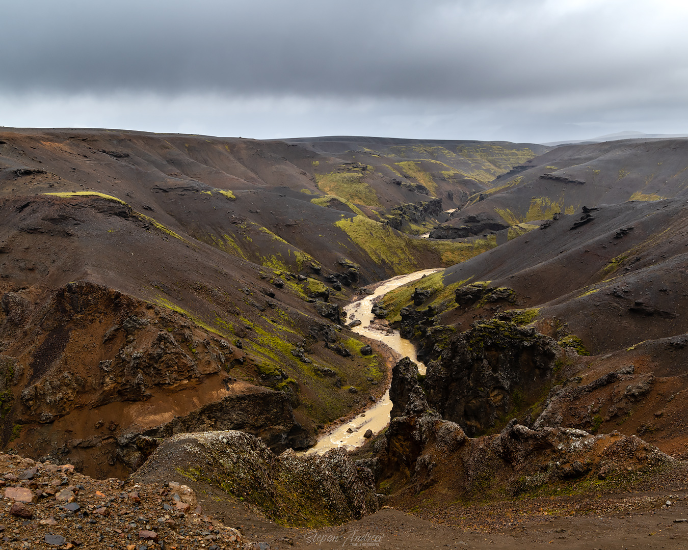
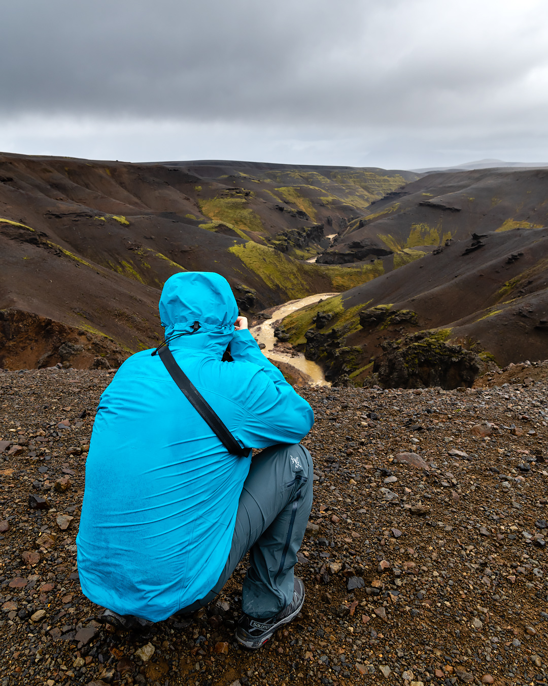
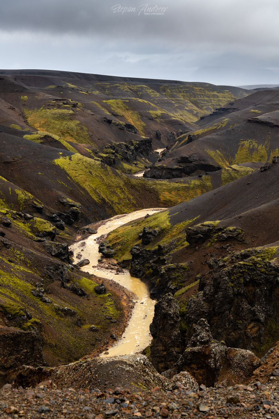
После завтрака мы попытались еще раз вернуться в геотермальную долину, но к сожалению погода сменилась опять, и в горах засела туча и видимости не было вообще никакой, особенно с учетом дождя. Мы развернулись и смогли лишь запечатлеть кадры очень интересного ущелья, которое я заприметил еще в прошлый вечер.
Unfortunately the weather turned to worse after the breakfast. We tried once again to go to the geothermal valley, but the low hanging cloud occupied the mountain area and reduced visibility to 20 meters. We had to turn back and get below the cloud where we stopped to photograph the canyon I noticed on a previous day.
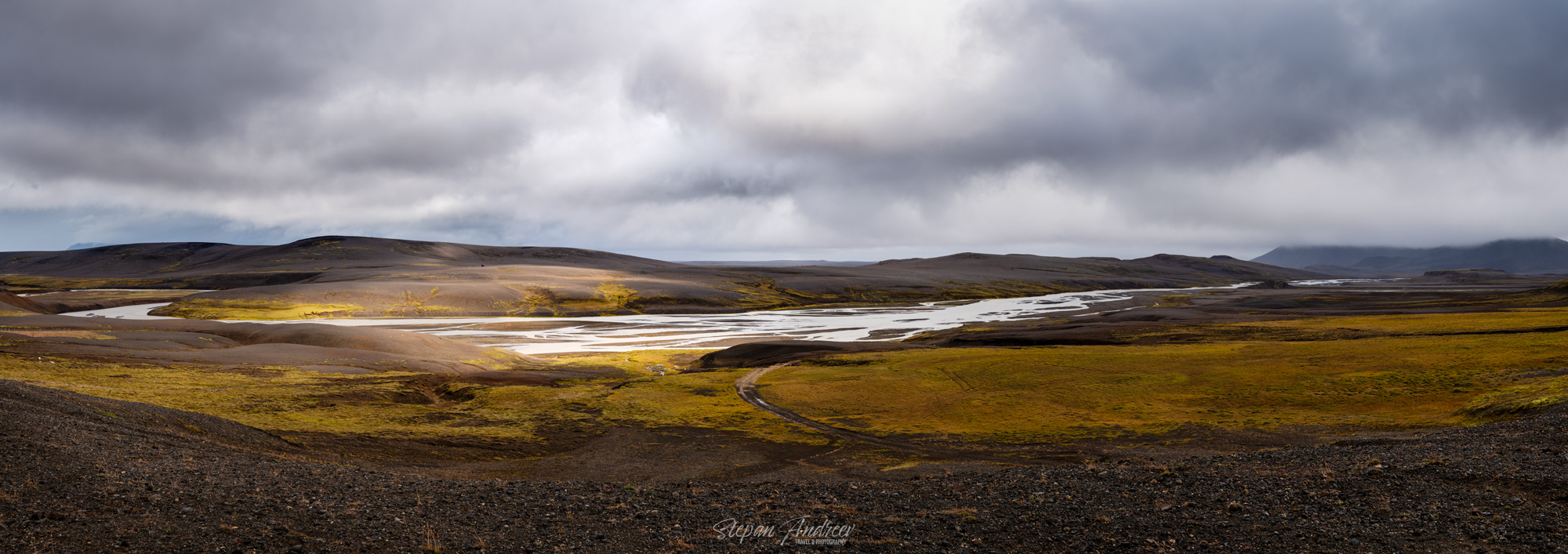
Настало время двигаться дальше, однако спустившись обратно вниз к отелю мы застали этот кадр (опять панорама, в этот раз не поленился поставить на штатив, но все равно склеивалась с трудом). Отважные пилоты дронов не побоялись летать в такой сильный ветер, надеюсь у них получились интересные кадры (пока не видел).
It was time to move on, but once we got back down to the resort we saw this patchy light moving across the valley. Our fearless drone pilots went on flying in this crazy wind and I put on my tripod for some timelapse and panorama.
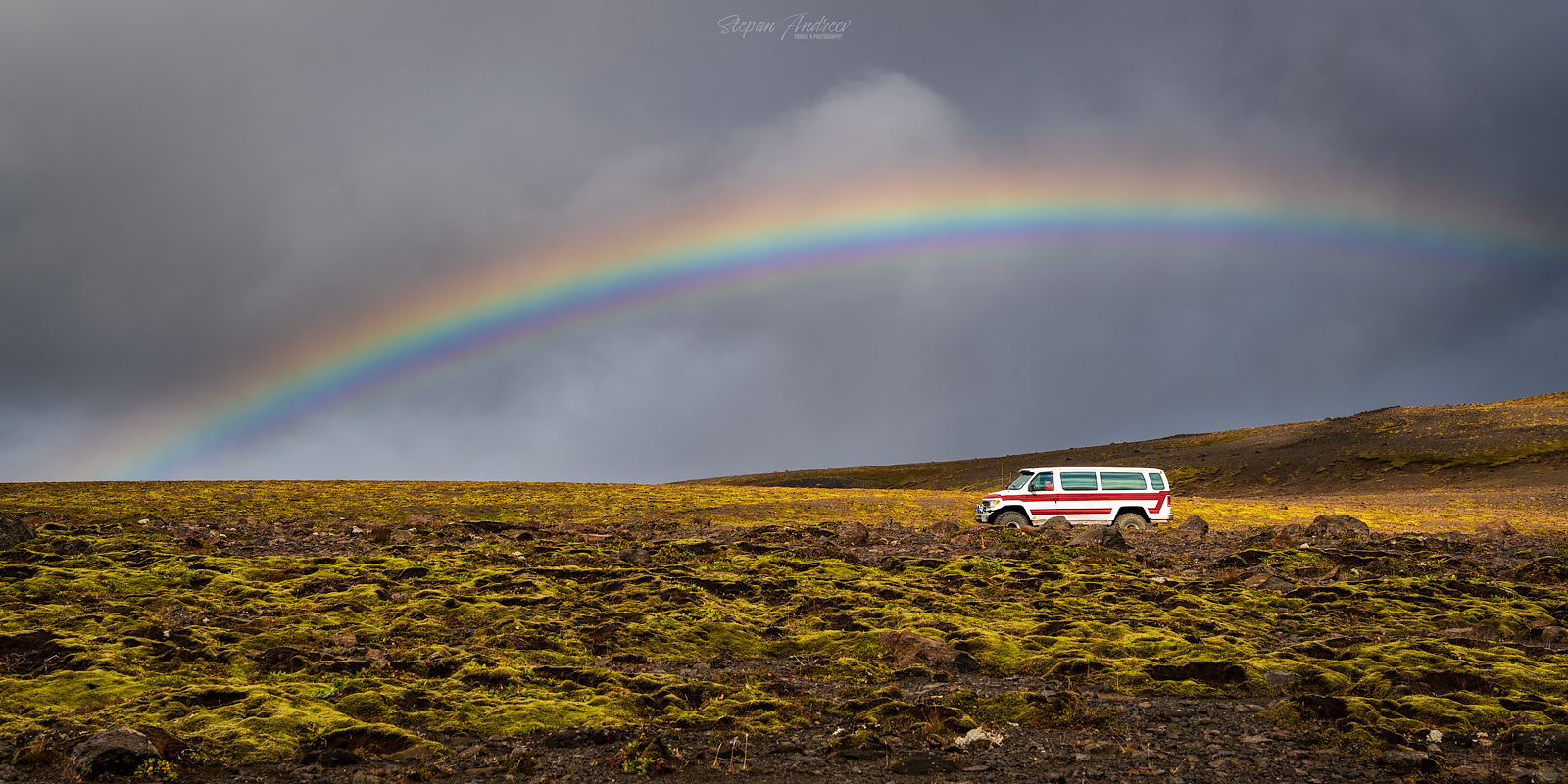
Первая часть нашего пути пролегала по той же дороге, по которой мы ехали сюда в предыдущий день (весь примерный маршрут можно посмотреть тут), однако погода была очень другая. Сначала шел беспросветный дождь, потом начали появляться просветы. За день я увидел больше радуг, чем за 3 года на Гернси. А потом откуда ни возьмись нам открылся огромный просвет в облаках. Мы были настолько не избалованы светом, что решили остановиться просто посреди дороги и поснимать/полетать.
First leg of our journey (approximate full route for the day can be found here) was on the same road we took to get here the day before. At first the rain seemed never-ending and the cloud cover unbreakable, but the some breaks started appearing in the skies. This day alone I saw more rainbows than in 3 years in Guernsey. And suddenly we saw this huge break in the clouds. We were so starved of sunlight, that we stopped in the middle of the road and went out to shoot the landscape and fly drones.

Возможно ваш острый взгляд уже заметил белую точку по центру кадра (если нет – посмотрите еще раз внимательно). Это яркий маркер для обозначения небольшой взлетно-посадочной полосы. Такие маркеры мы видели несколько раз в разных местах этой местности. У меня нет подходящего фото, но по сути это камень высотой метра 2-3 и на нем указан символ направления (S, E, NW и т.д.) в котором (как я полагаю) от этого маркера начинается непосредственно сама полоса. Полоса тоже обозначена красными конусами, но их видимо не так хорошо видно с высоты.
You might have already noticed the bright white dot on the panorama above in the middle (if you haven’t – look closely). This is actually a special bright marker for the nearby airstrip. We say several of them scattered in this area. I don’t have a proper photo of it, but it is basically a 2-3 meter high stone structure with a direction symbol on it (S, E, NW and so on) that (I guess) marks which way from the stone the runway is. The runway itself is marked as well with red stones but I guess they are not as visible from above.
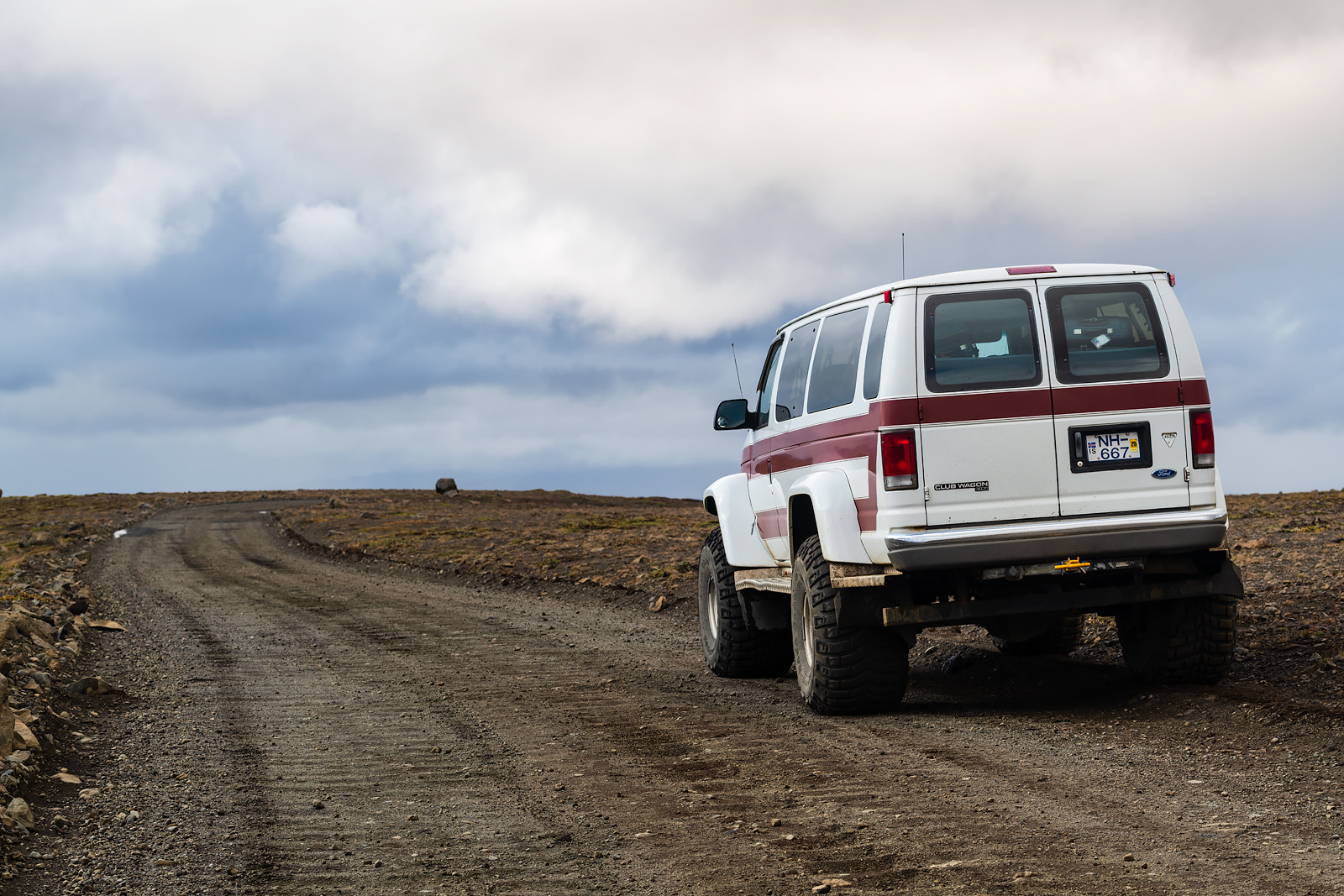
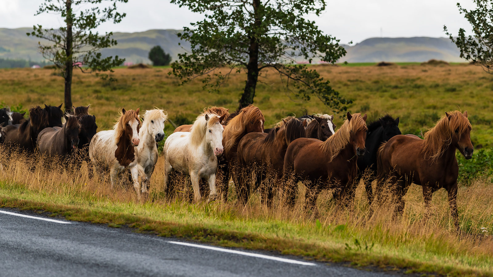
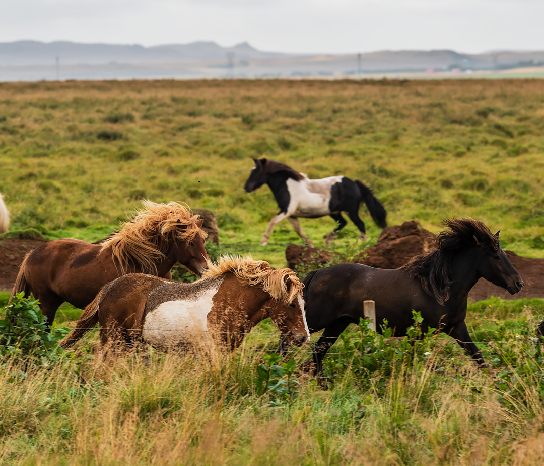
Примерно через час мы вернулись на асфальт, накачали колеса и поехали в сторону горного региона. По пути остановились на обед у тех самых гейзеров из предыдущего дня. На удивление очень приятная кафешка для настолько туристического места. В какой-то момент на нашем пути мы увидели свободно пасущийся табун местных исландских лошадей и мы не могли не остановиться. Агун сделал потрясающие кадры с дрона, надеюсь он скоро их куда-то выложит.
An hour or so later we returned back on asphalt, pumped the tyres and moved on towards our next destination in the Highlands. We stopped for lunch in this touristy Geyser spot and were surprised how nice the cafe is considering the popularity of the location. On our way further we encountered a big group of Icelandic horses roaming free so we could not just pass by. Agung made an amazing drone video, I hope he shares it soon somewhere so I can add it here in this post.
Уже совсем скоро мы заселились в отель и нашу базу на ближайшие 3 дня – The Highland Center Hrauneyjar. Отель – практически идеально расположен для исследования вокруглежащих красот, но комнатки в нем совсем крошечные. При всем при этом ресторан при отеле с претензией и там было довольно вкусно. Мы же побросали чемоданы в номера и поехали исследовать вот этот регион.
Very soon we finally settled in our hotel – The Highland Center Hrauneyjar – and our base for the next 3 days. The hotel is almost ideally located to explore this region, but the rooms were so very tiny. On the other hand the restaurant was trying to be a bit posh and actually was quite good to be fair. We left our luggage in the rooms and went on exploring the area below.
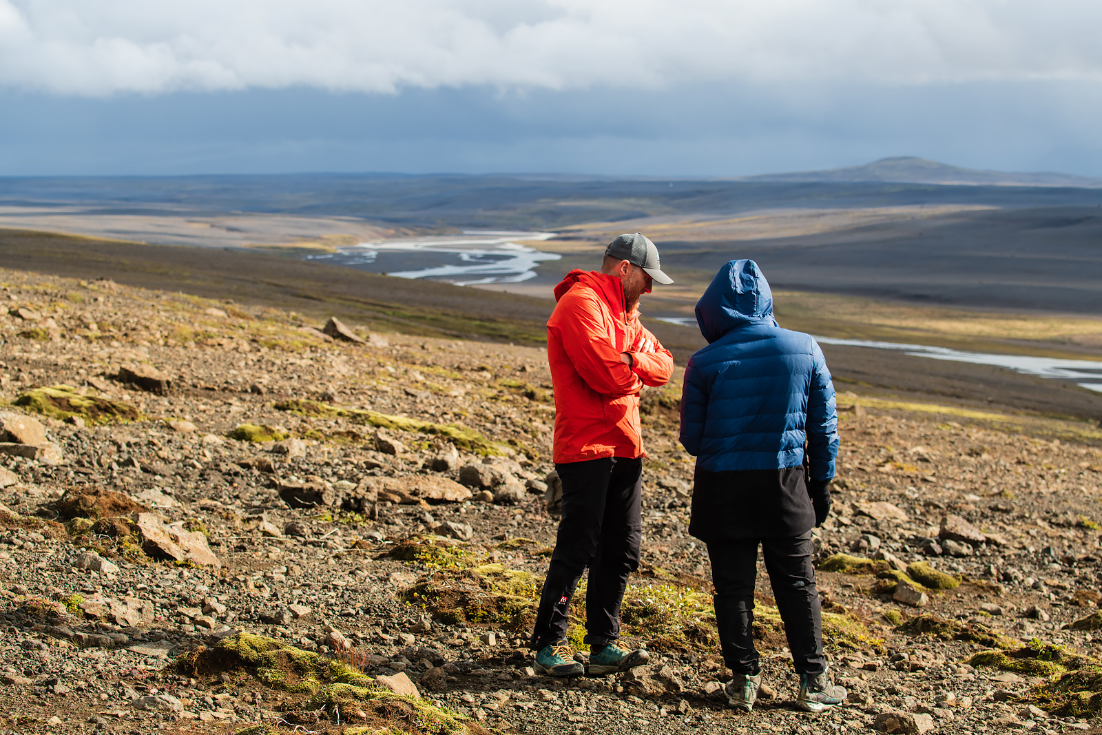
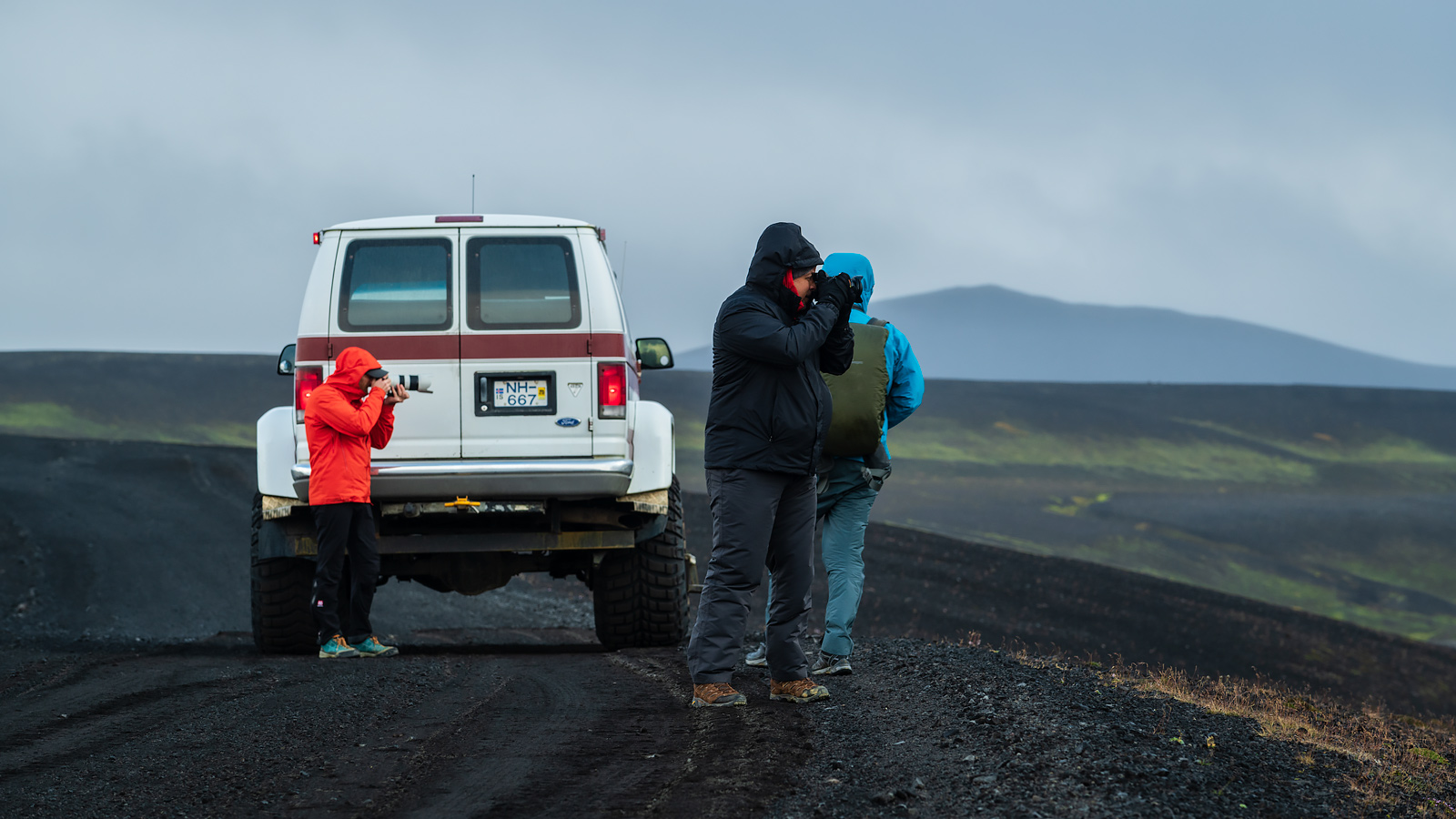
В какой-то момент мы выехали на гряду. С одной стороны виды с гряды были очень драматичные и разнообразные (см панораму ниже). Но с другой стороны ветер был настолько сильным, что фотографировать было очень сложно – глаза слезились, компоновать кадры было очень непросто. Панораму конечно снимал с рук, так как никакой штатив бы не устоял в такой ветер.
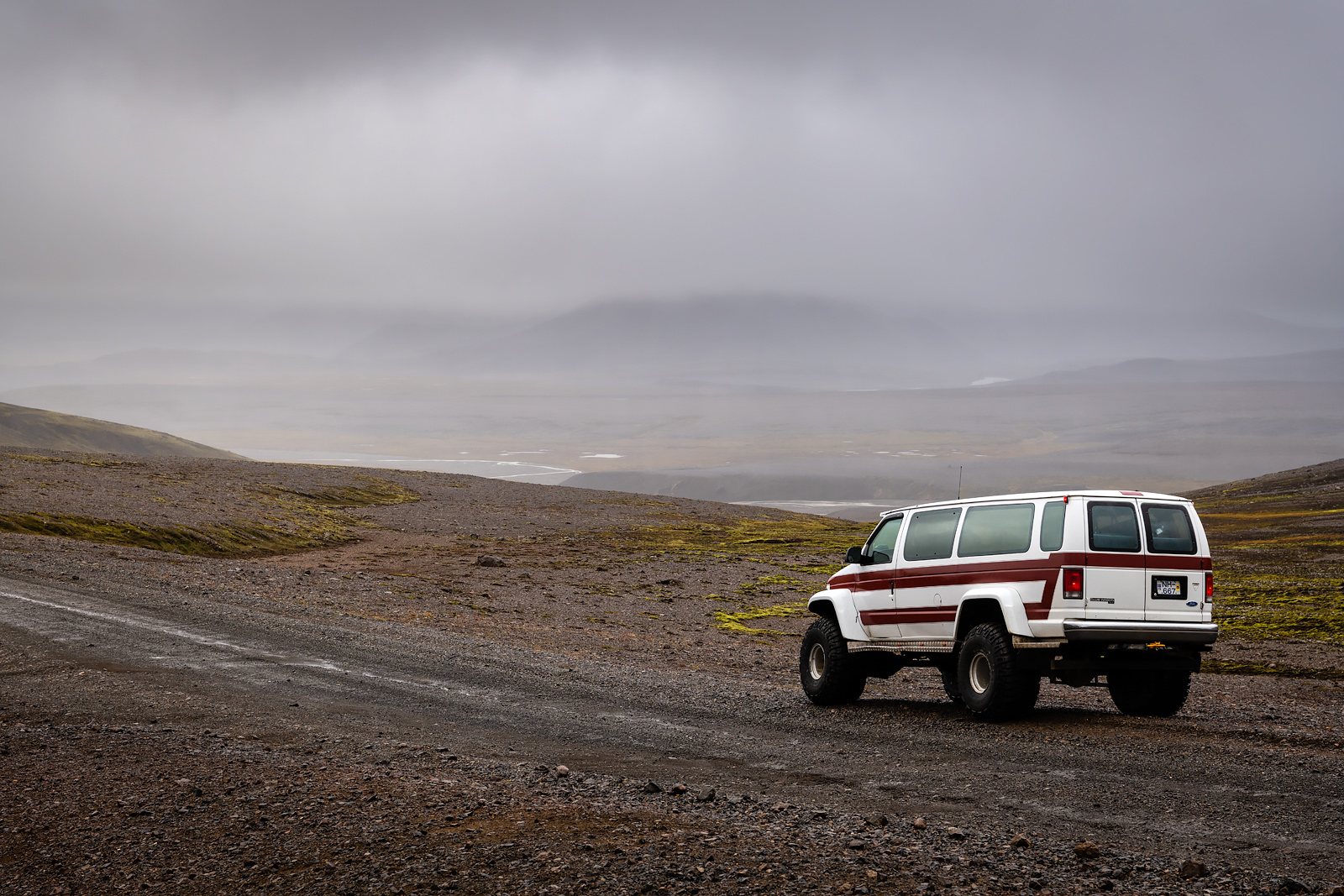
We were cruising in our monster vehicle and at some point we topped a hill and went out to shoot because the views were breathtaking. The problem, as you might have guessed already, was the wind. It was so strong that you immediately got tears in the eyes if you face the wind, and it was really hard to compose shots. The pano was obviously handheld, as no tripod could withstand such winds.
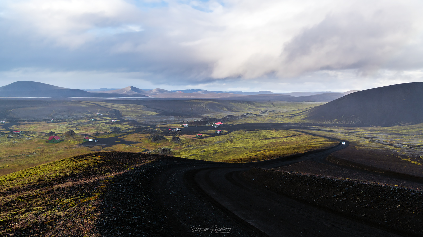
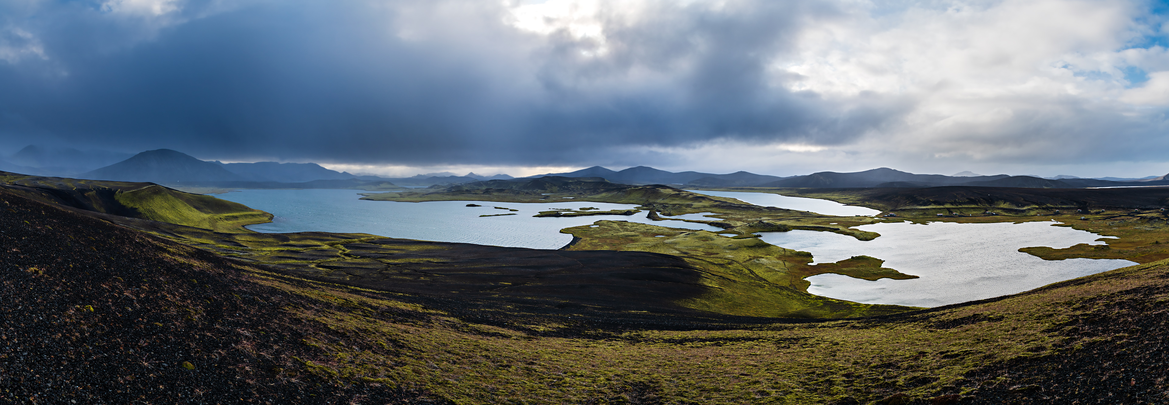
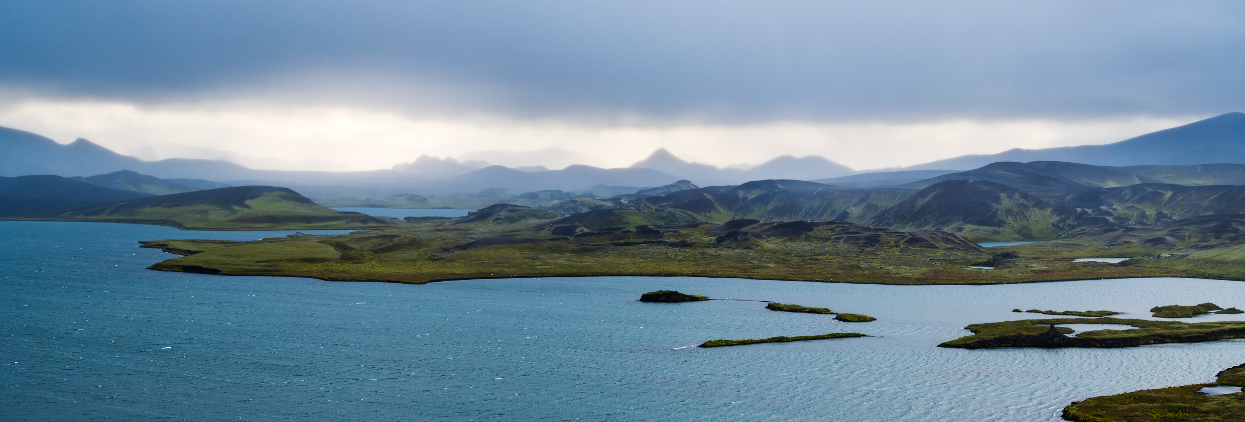
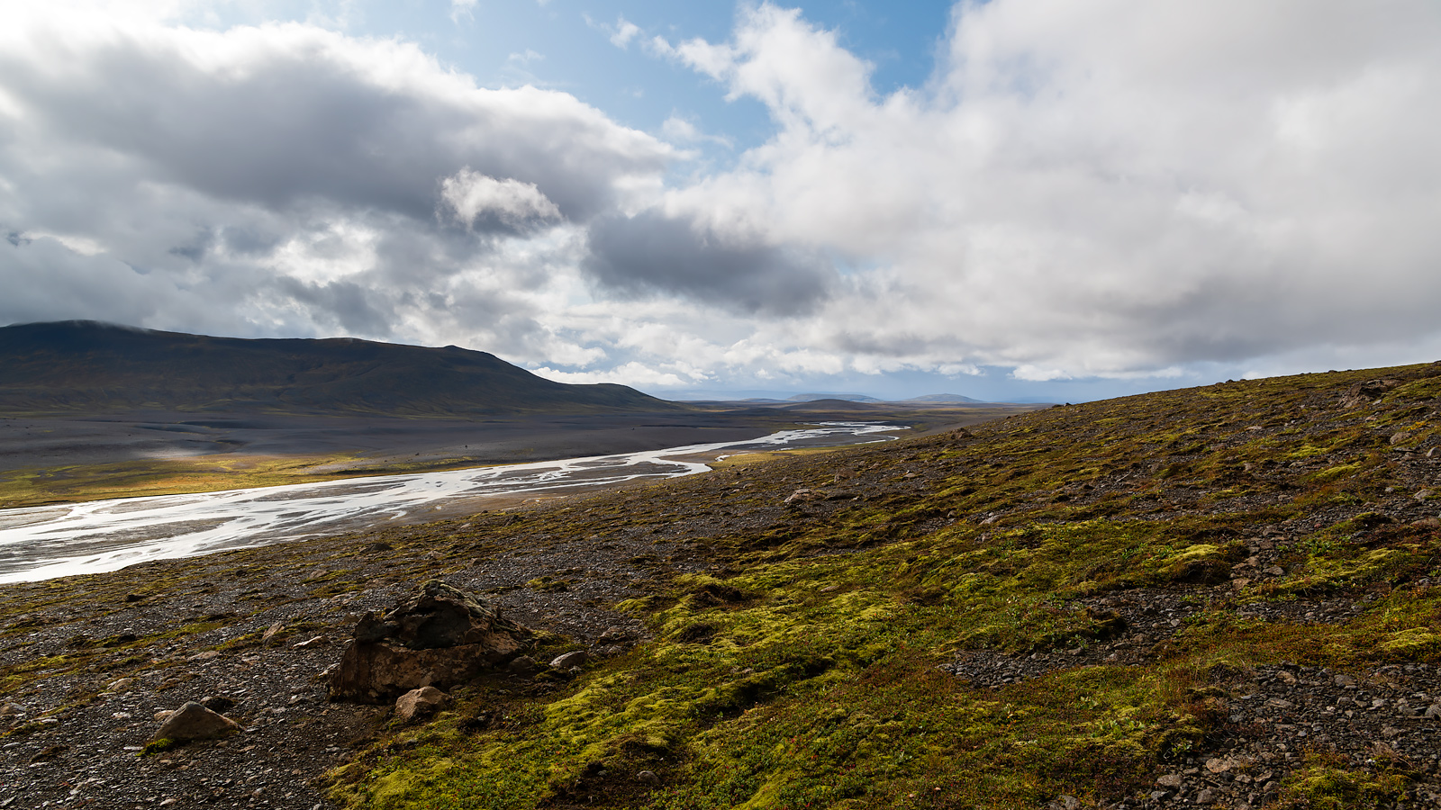
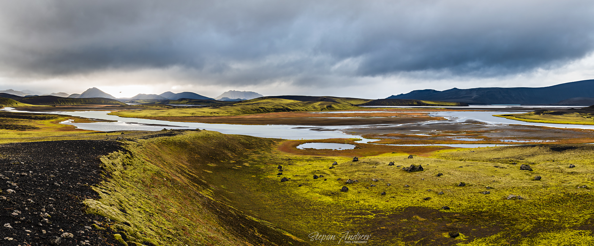
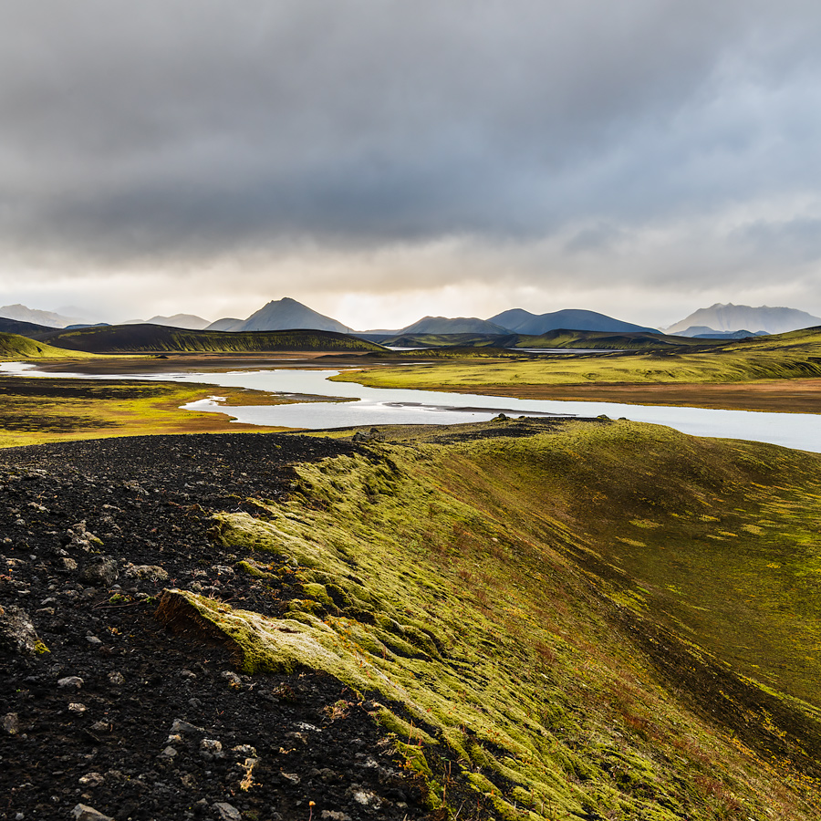
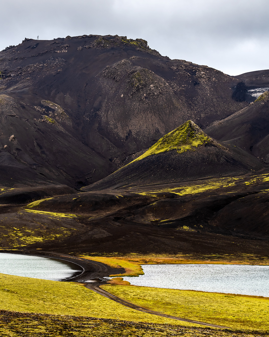
Находиться на таком ветру далее было решительно невозможно, да и тучка надвигалась на нас с пугающей скоростью, поэтому мы переместились в другую точку. Здесь было относительно спокойно, даже ветер несколько утих. Пилоты полетели исследовать красоты с высоты птичьего полета (дрон видно на панораме). Камера с трудом передает то, насколько насыщен был этот зеленый цвет мхов, особенно на фоне очень черной после недавнего дождя вулканической почвы, но я попытался “докрутить” как можно ближе к тому как я это видел сам.
Tired of the wind and getting wary of the fast approaching storm cloud we moved to another location. It was surprisingly tranquil here with less wind and no rain. Our drone pilots immediately took to air (you can see the drone on the pano below). I tried to convey in the photos how the scene actually looked like and yes, the green color in the moss/lichen is that intense. I had to “tweak” the colors to not be overly saturated but still resemble what I saw with my eyes.
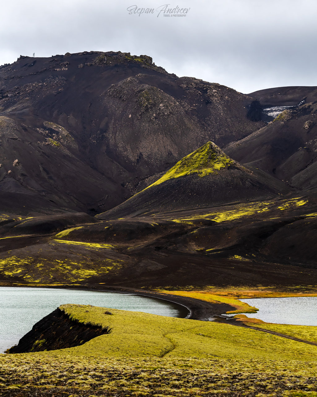
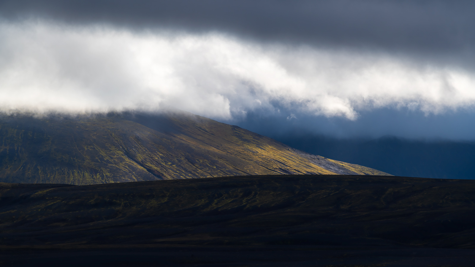
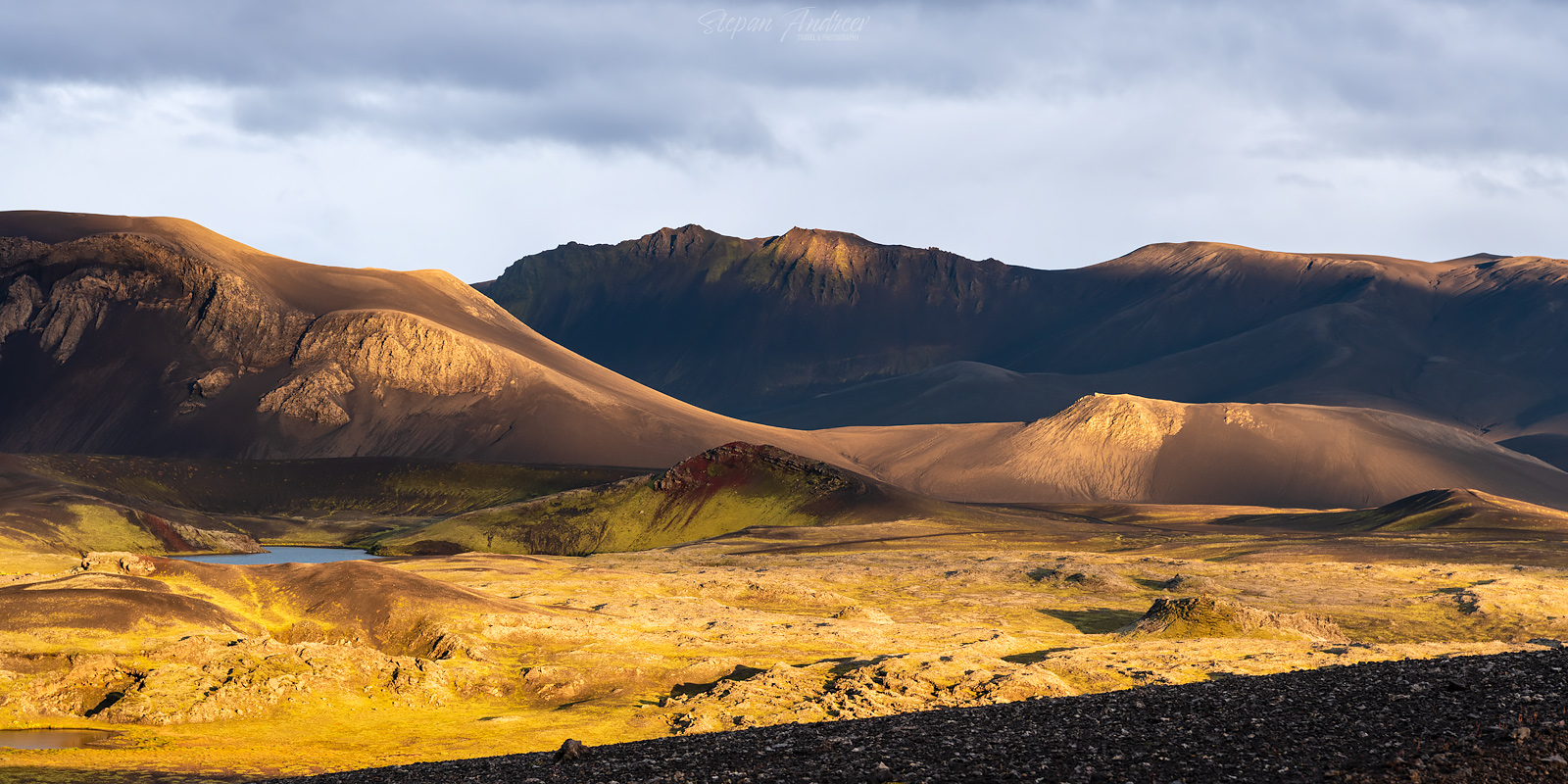
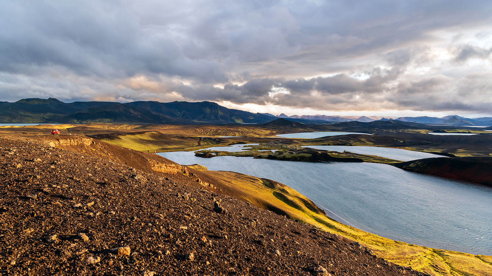
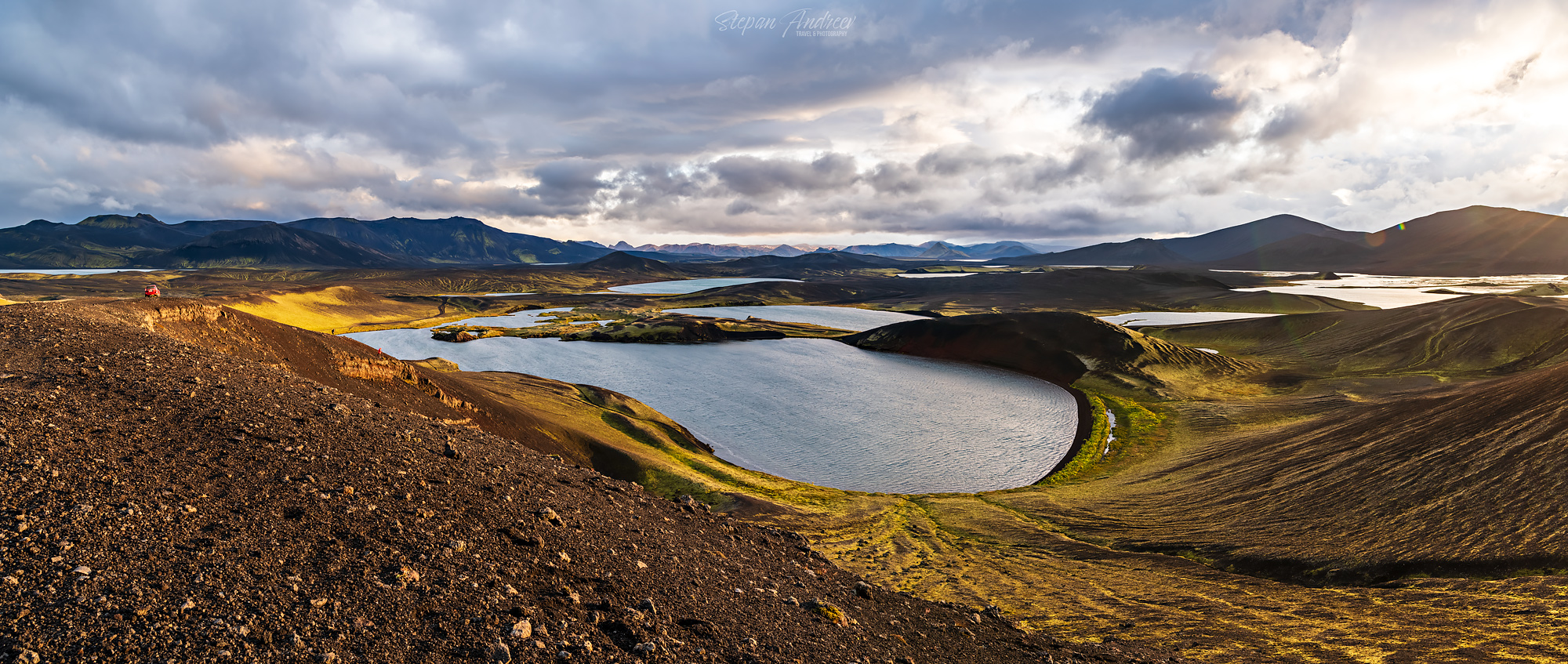
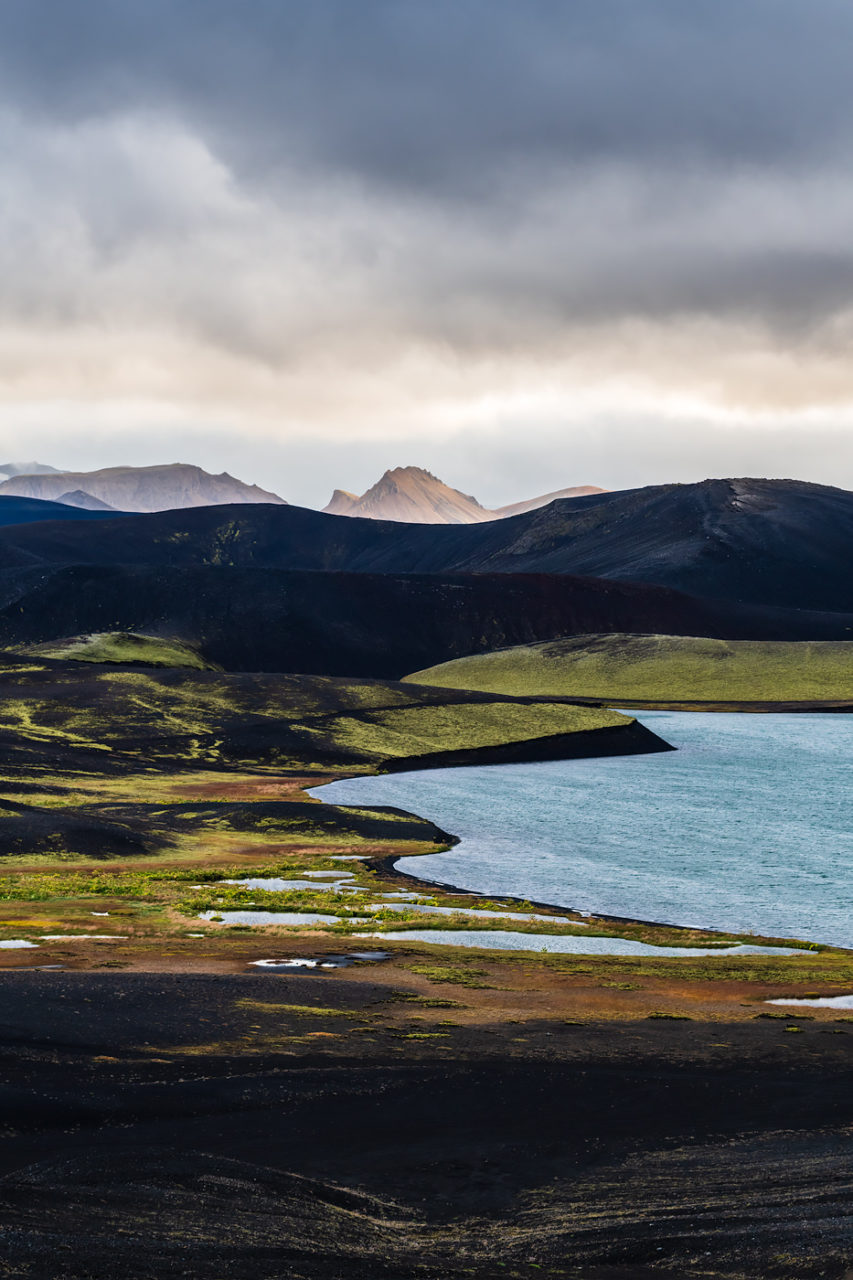
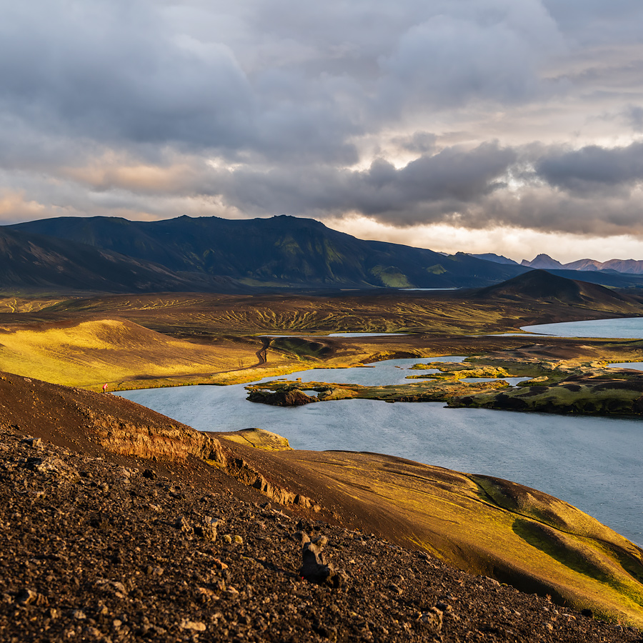
Следующая локация поразила нас не только открывающимися видами. Сначала свет был довольно скучный, но буквально спустя 20 минут началось светопредставление – из разрыва во облаках ярко засветило закатное солнце, что полностью преобразило пейзаж. И без того яркие и насыщенные цвета мха и почвы просто взорвались цветом на наших глазах. Свет двигался и менялся, я не знал в какую сторону смотреть и снимать.
Our next (and last for the day) location impressed us immensely, in multiple ways. At first the light was pretty dull, although the views were still amazing. But in 15-20 minutes a very bright golden sunlight started streaming the the vista through a small break in the clouds and the whole landscape exploded with color, just like it wasn’t colourful enough already.
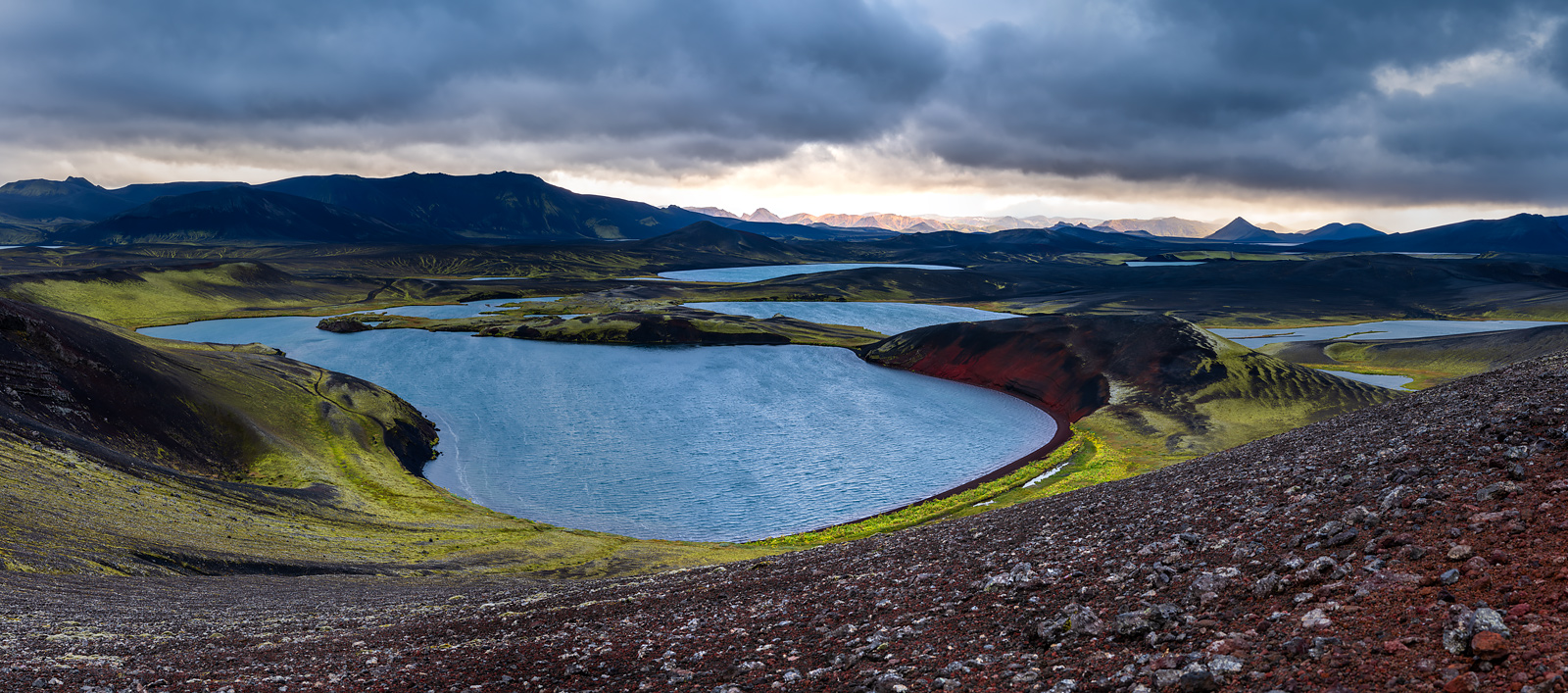
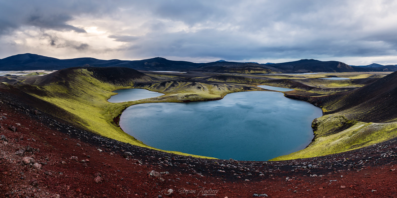
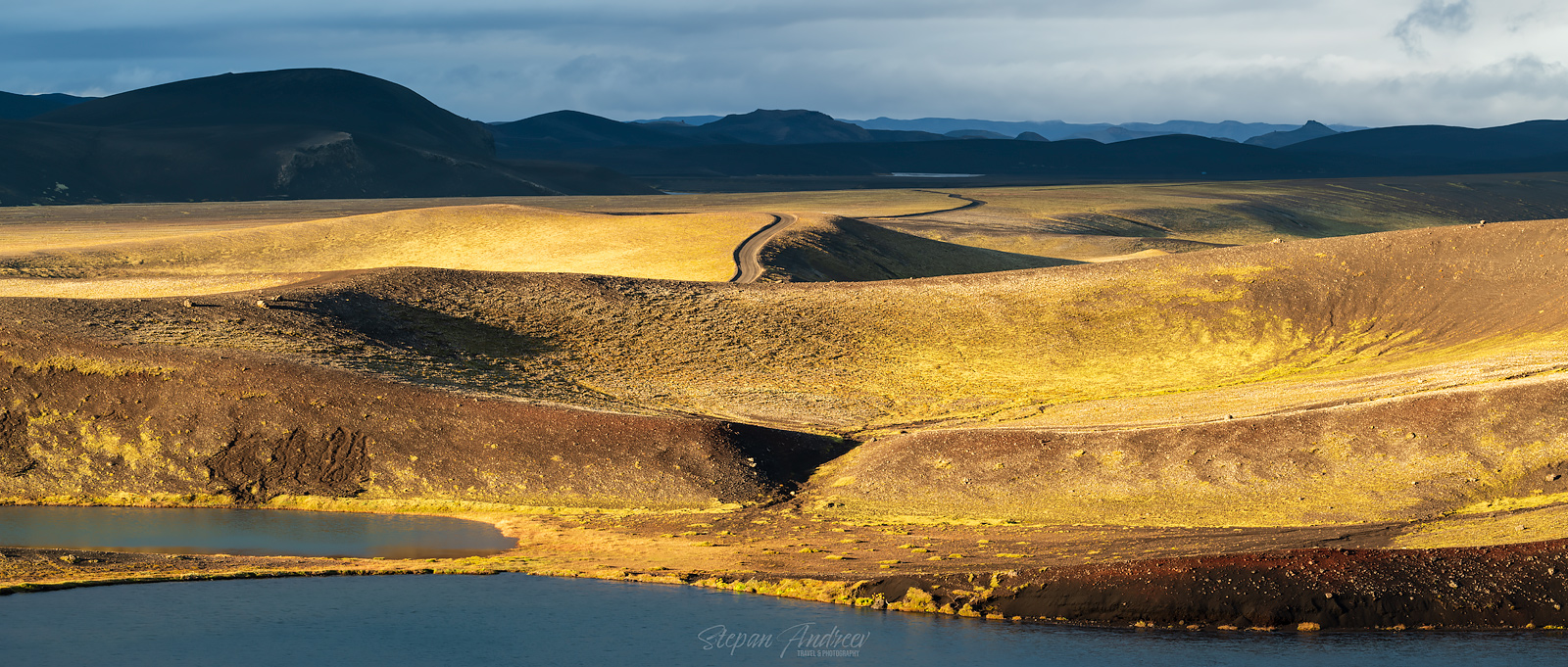
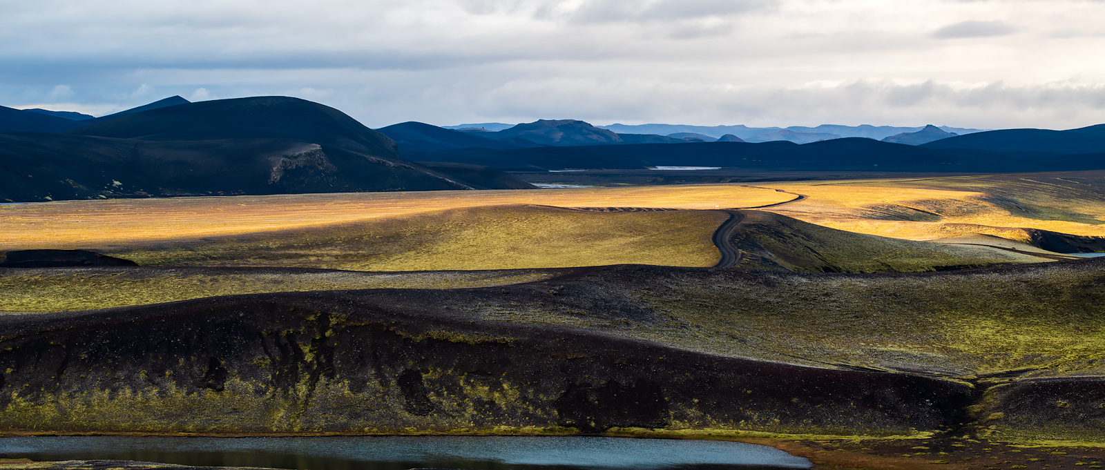
Свет длился буквально 15 минут, может и меньше. Мы уже и так опаздывали на ужин, так что мы неохотно собрались и поехали уже в отель. Но тут Агун обнаружил, что забыл чехол от дрона. Мы развернулись и поехали обратно, и как же хорошо что мы это сделали. По возвращению нас ожидала вторая часть светопредставления, в чем-то еще круче предыдущей. Так что мы вывалились из машины и стали опять фотографировать.
The light lasted about 15 minutes or even less. We were already kind of late for dinner, so we eventually packed up and left for the hotel. But just 5 minutes after Agung realised he forgot his drone bag on the spot somewhere. So we turned around and we were so lucky we did so. When we got back to the spot there was a part 2 of the light show, in some aspects even better than the first one. So we hurried out of the car to shoot more awesome shots.
Через минут 15-20 нам все таки пришлось быстро запаковаться и поспешить обратно в отель чтобы успеть на ужин. Если бы мы ожидали такое светопредставление, мы бы конечно взяли бы еды с собой или же поужинали раньше, но погода в Исландии решительно непредсказуема. Ждите продолжения блога, следующий день не менее прекрасен.
In 15-20minutes we grudgingly had to pack up again and finally head for our hotel. If we’d expected light like this we’d probably just get a takeaway or have dinner before leaving for the shoot, but the weather in Iceland is very unpredictable. Stay tuned for next day.
Leave a reply